


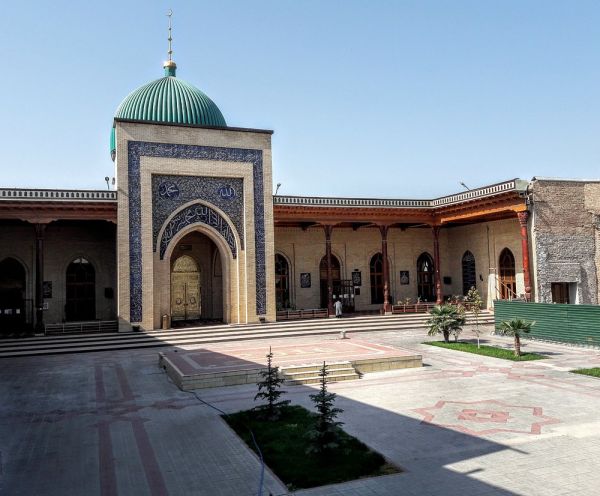
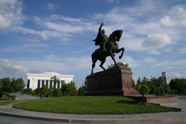
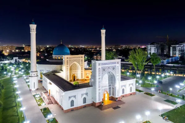
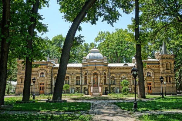
Pulatkhan Plateau
The legendary Pulatkhan high-altitude plateau is located in the mountains of the Southwestern Tien Shan in the Ugam-Chatkal National Park and administratively belongs to the Bostanlyk district, Tashkent region of the Republic of Uzbekistan.
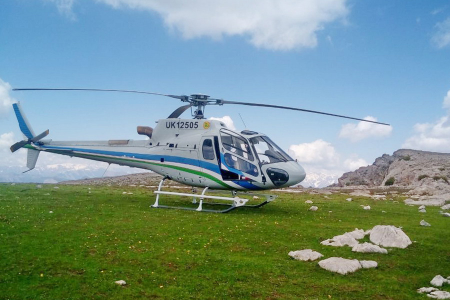
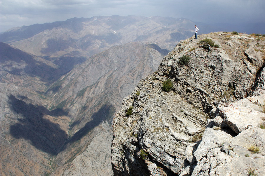
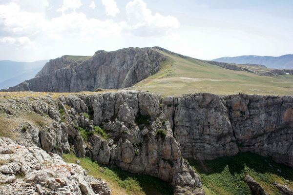
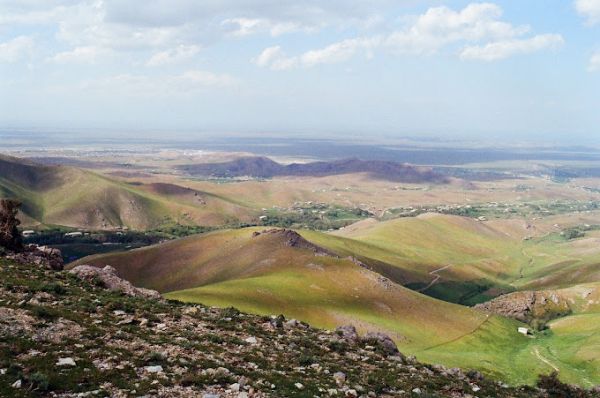
The area of mystery of the plateau is primarily associated with the inaccessibility of the plateau (it takes 2.5 – 3 days to climb the plateau from the nearest road on foot). The difficult road to the plateau is more than compensated for by the fantastic scenery and wildness of the plateau. The huge table mountain (an area of -3 km2) was pushed up by underground forces over the surrounding gorges and mountains to an almost three-kilometer height. The sheer walls of the plateau drop hundreds of meters into valleys, and only in the west a small isthmus connects the plateau with the neighboring ridge.
Tourists who come here need to know that there is practically no water on the plateau, and there is only one spring in the northeastern part of the plateau.
There are surprisingly a lot of greenery and mushrooms on the plateau itself in spring. The plateau is literally pitted with the burrows of the red-book marmots of Menzbir.
Another legend of the plateau is associated with the untold treasures allegedly hidden in the Pulat Khan cave. The plateau is really of karst origin and there are many craters on it, and there are small caves in the walls. But so far, only one entrance to the cave has been found, extending through vertical wells to a depth of more than 500 meters. We must immediately cool down the ardor of romantic lovers. You cannot enter the cave without special caving training and at least 500 m of rope. But the cave is waiting for researchers who will be able to expand the narrowing in the monolithic diaclase at the bottom. After the narrowing, the entrance widens. The water of the stream also goes deep, which flows through the cave (or rather falls through the wells), starting from a depth of 20 m from the surface.


Place on the map
Tours where you can visit this place:
Pulatkhan Plateau
Tashkent — Bukhara — Samarkand — Shakhrisabz
- 720$
- 7d.

Pulatkhan Plateau
Tashkent — Bukhara — Samarkand
- 640$
- 7d.

Pulatkhan Plateau
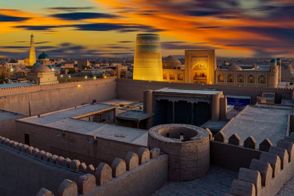
Tashkent — Bukhara — Samarkand — Khiva — Khorezm
- 730$
- 7d.
Pulatkhan Plateau
Tashkent — Bukhara — Samarkand
- 500$
- 5d.

Pulatkhan Plateau
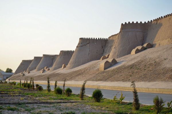
Tashkent — Bukhara — Samarkand — Khiva
- 590$
- 6d.
Pulatkhan Plateau
Tashkent — Bukhara — Samarkand — Shakhrisabz
- 1150$
- 7d.

Pulatkhan Plateau
Tashkent — Bukhara — Samarkand — Khiva — Shakhrisabz — Gizhduvan
- 1200$
- 10d.
Pulatkhan Plateau
Tashkent — Bukhara — Samarkand
- 675$
- 5d.
