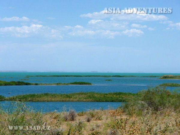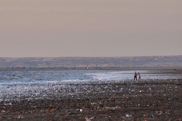

The coast of the Aral Sea
It's hard to believe that in place of a red-hot, arid desert, there was once a real sea, which occupied the fourth largest in the world. Large fishing boats sailed along it, its waves beat against the coastal cliffs, and hundreds of tourists came to its beaches to swim and sunbathe.
On one side is Karakum, on the other side is Kyzylkum, and between them is the Aral Sea, or rather its bottom. Now this place is called Aralkum or the New Desert, and it occupies 54 thousand square meters. Dozens of ships are permanently moored here, slowly turning into a rusting cemetery. Passing from ship to longboat, one involuntarily realizes that each ship had its own story, there was its own captain. And now it's a graveyard of ships, resembling a dystopian landscape.
You can see all this in the city of Muynak, on the southern shore of the Aral Sea. Half a century ago, it was the largest port in Uzbekistan, where fishing vessels arrived, where the largest fish processing plant operated, and numerous beaches with recreational facilities were very popular. Muinak was completely surrounded by water and could be reached by plane or ship. The Aral Sea has receded by almost 200 km, leaving behind a lifeless desert.
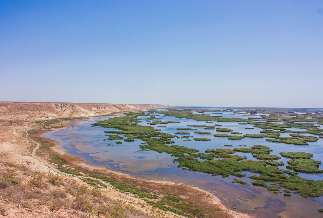
The sea began to dry up in 1970, and by 1980 its level had dropped so much that it was divided into two parts: the Big and Small Aral. NASA satellite images clearly show the drying process of the Aral Sea. By 2014, only 10% of the sea remained, and the salinity of the water increased from 14 to 100 grams per liter. This led to disastrous consequences. The climate of the Aral Sea region has changed from temperate to sharply continental.
The reasons for the drying up of the sea are not exactly known. At one time, there was a widespread theory about the improper use of water from the Amu Darya and Syr Darya for irrigation and irrigation. However, later studies were carried out on the dried-up area of the bottom, which showed that medieval settlements of the XII-XVI centuries were located here. Residential buildings, craft workshops, burials, and household items were found. Scientists have established that the sea was here long before the settlements that disappeared as a result of flooding. The archaeological site was named Aral-Asar.
The bottom of the Aral Sea is really mysterious, some scientists compare it to Atlantis. In addition to ancient settlements, geometric shapes have also been discovered on the seabed, which many take to be a message from an extraterrestrial civilization or ancient writings. They are located on a huge area of almost 20 square meters and represent parallel lines that create certain drawings and symbols.
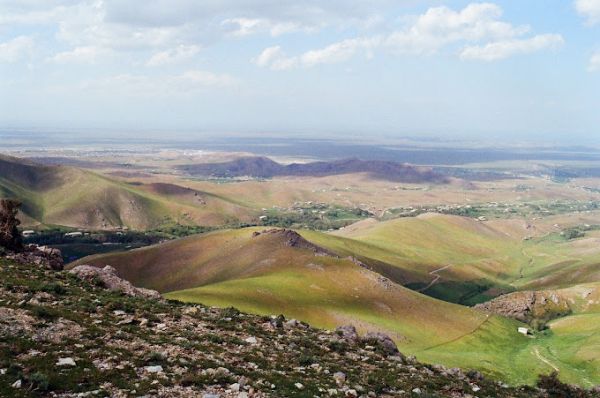
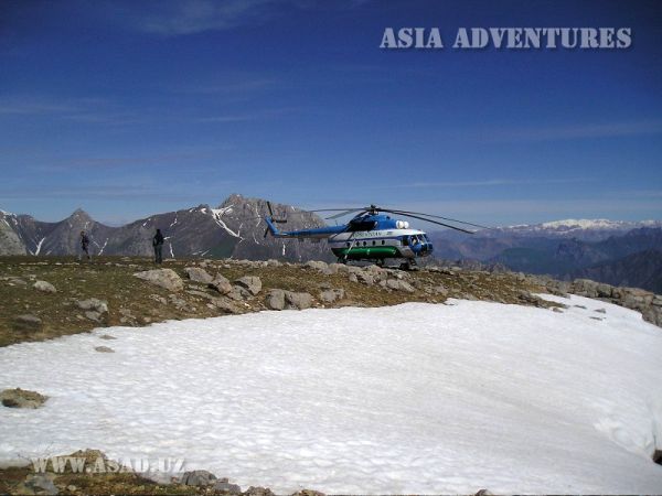
You can see mysterious drawings, poisonous salt marshes and what remains of the Aral Sea by helicopter. To do this, you will have to fly west towards the Big Aral Sea. Below you can see endless Martian landscapes, thousands of hectares of white salt deposits, where no life is possible. From time to time, there may be rows of saxaul, which show that this is the work of man. Surprisingly, with great difficulty, the Uzbeks, trying to prevent the Aral catastrophe, planted saksaul in a typical desert, creating green oases.
Flying up, you can see the sea, once the cleanest and most transparent sea in the world. Near the Aral Sea, anyone can stay in a yurt camp and feel the flavor of Karakalpak culture. There is also Vozrozhdenie Island in Muynak district, the most closed and mysterious place in the Aral Sea.
Muinak has been transformed over the past few years. In addition to the once-lost seaport, the area has something to surprise the guests of the country. For example, the delicious Karakalpak cuisine, hospitality, interesting national traditions and just kind people who know firsthand what it means to cherish and appreciate, it would seem, the simplest thing that a person has – water!